Sea Level Rise: Visualizing Climate Change
A collaborative project by Carrie and Eric Tomberlin
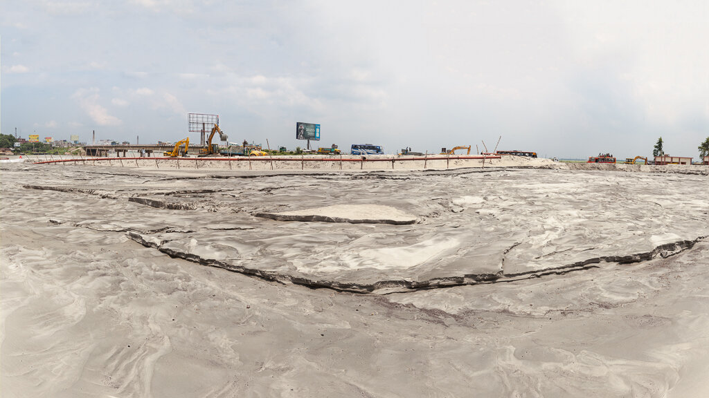
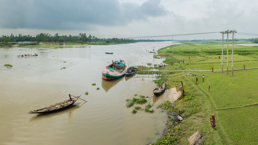
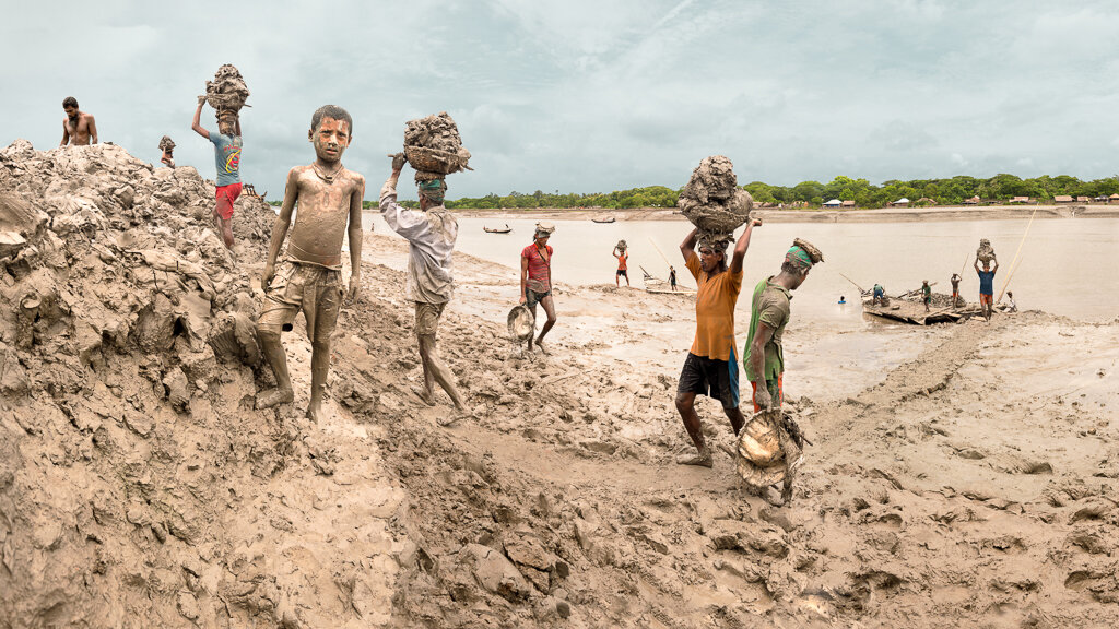
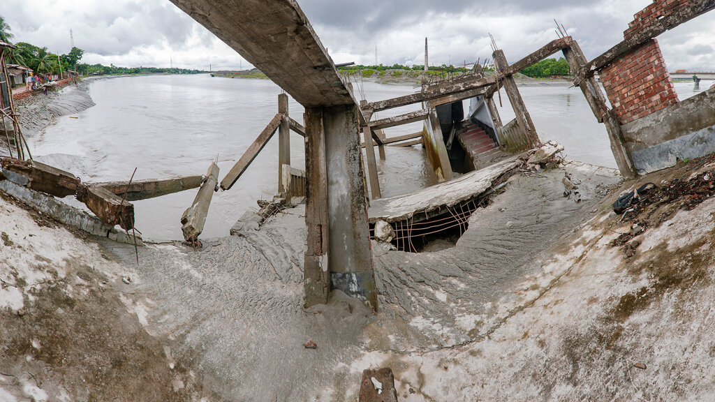
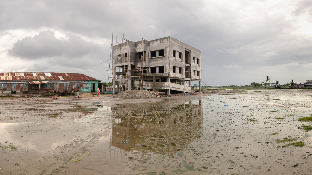
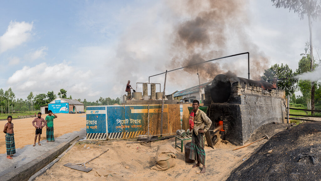
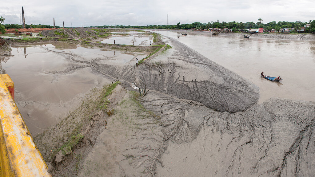
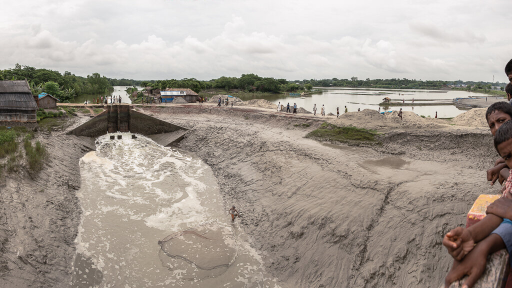
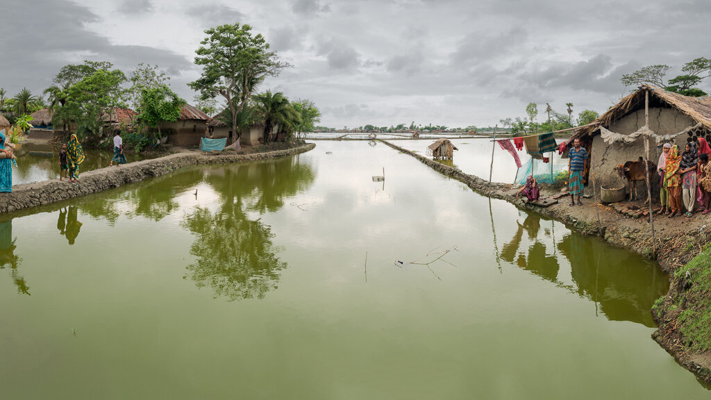
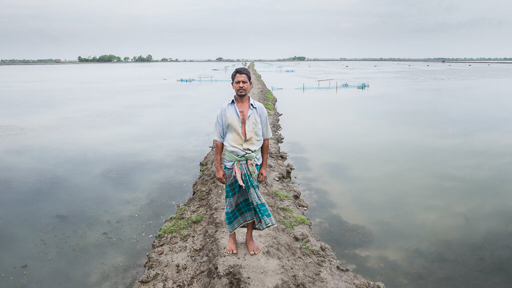
Bangladesh is considered by the international scientific community to be amongst the world’s most vulnerable populations to the effects of climate change. Sitting upon one of the world’s largest river deltas, it sits right at sea level, making it vulnerable to cyclones, annual monsoons, and seasonal snow melt from the Himalayas, all of which are further exacerbated by global warming, sea level rise, and population density.
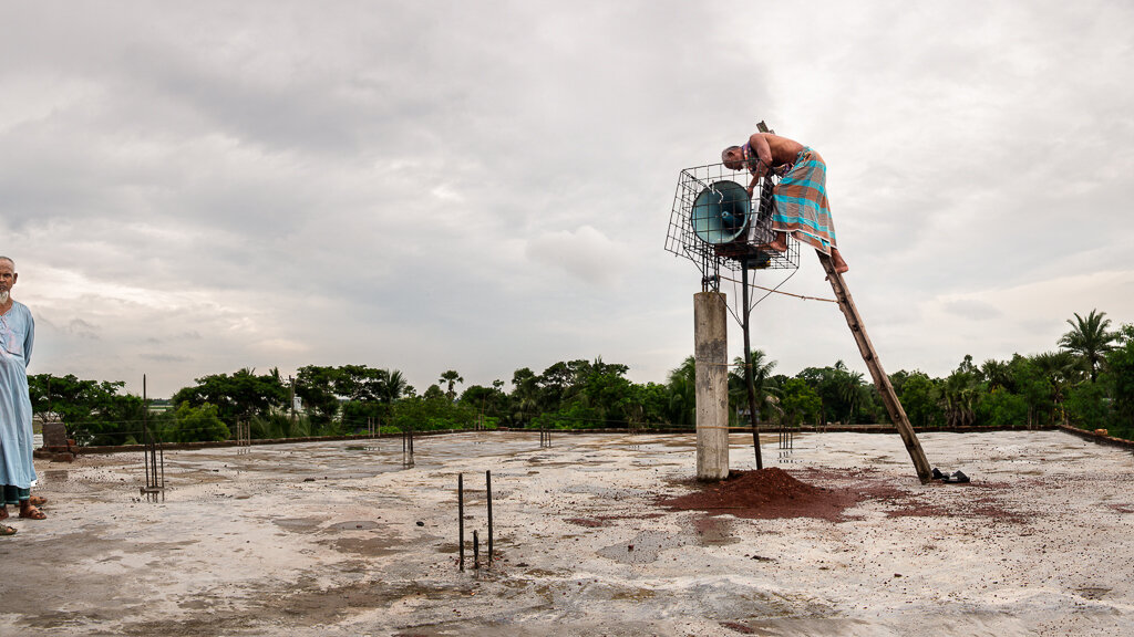
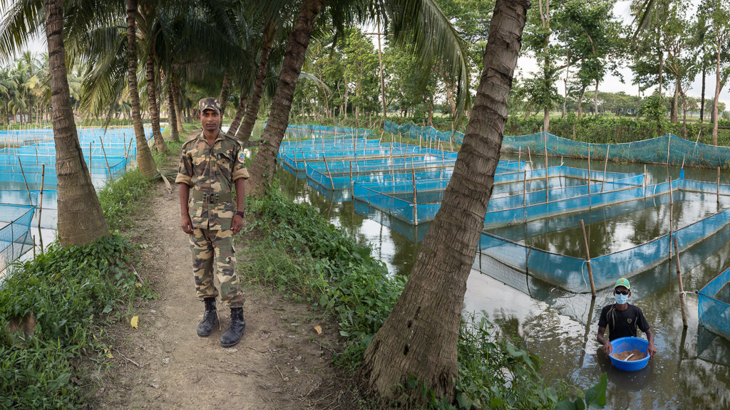
Though Bangladesh faces seemingly insurmountable challenges, they are not merely coping, but adapting with resilience and ingenuity utilizing community - based adaptations. In doing so, they provide an example of taking action on a local, national, and international level to mitigate and adapt to the effects of climate change. Much of what Bangladesh is learning can be applied to other highly populated areas at or near sea level such as Miami, Tokyo, Shanghai, and Amsterdam.
Having photographed environmental issues for many years, we find the images of climate change to be limited due to the gradual and elusive nature of the problem. For several years we have been working on a new kind of photography we call time distillation. This new paradigm allows us to collect a range of time and collapse it into panoramic space which we later distill into a singular allegorical narrative that has the potential to express a more complex story than a singular photographic image. This process parallels environmental issues in that it is the accumulation of time that reveals the gravity of the situation more clearly than any individual moment.